Between Sea and Shore: Navigating Cornwall’s Tidal Gateways

Today we focus on planning safe intertidal crossings to Cornwall’s tidal islands and headlands, turning uncertain shorelines into well-timed journeys. You will learn to read tide tables, judge weather and swell, plan conservative routes with reliable exits, and carry equipment that truly matters. Stories, local insights, and practical checklists keep you grounded. Share your experiences, ask questions, and subscribe for future route profiles and tools crafted for these uniquely Cornish passages.

Springs, Neaps, and the Height That Changes Everything

Spring ranges flood faster, climb higher, and expose fewer ledges than gentle neaps, yet neaps can tempt overconfidence with late, slippery surprises. Compare predicted heights against causeway spot levels, remember atmospheric pressure effects, and expect local set-up from swell. When uncertain, treat marginal centimetres as decisive metres.

Turning Predictions Into Conservative Plans

Tide tables are forecasts, not guarantees. Build plans that survive delays, photo stops, tired legs, and unexpected chop. Start earlier than comfort suggests, identify halfway decision points, and carry a watch you check relentlessly. If conditions disagree with predictions, trust the water you see, not the chart.

When Weather and Swell Redraw the Map

Wind, swell period, and pressure can convert ankle-deep crossings into roaring sluices wide before predicted times. Learn how onshore gusts stack water, long-period sets surge over sills, and rain swells streams. Use multiple forecasts, read nowcasts on the beach, and reshape decisions with humility.

Wind Direction, Fetch, and Surging Channels

A modest onshore breeze across a long fetch drives set-up into coves and funnels it through gullies. Crossings that felt calm outbound can pulse dangerously on return. Note wind shifts by hour, watch whitecaps at channel mouths, and downgrade plans when chop shortens your stable footing.

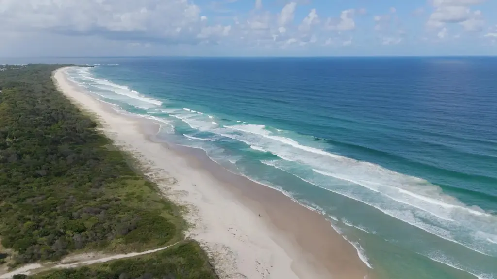
Swell Period, Wave Setup, and Rock Platform Hazards

Longer periods carry taller, more forceful surges onto flat rock, dislodging feet and hiding potholes beneath foam. Even with low measured height, grouped sets can arrive after deceptive lulls. Observe at least ten minutes, map dry escape ridges, and retreat if any set starts overlapping steps.

Routes, Ridges, and Reliable Exits

Choosing the right line matters more than raw fitness. Study maps, photos, and satellite imagery, then confirm on a low-tide walk before any commitment. Identify high, clean ridges, avoid bait-digger trenches and weeded slabs, and keep at least two escape options visible at every stage.

Scouting at Dead-Low and Marking the High Line

Visit at dead-low springs to learn the ground, note barnacle lines, and photograph reference boulders from both directions. Chalk inconspicuous arrows, drop GPS breadcrumbs, or memorise a skyline notch. Your outbound memory will fade under pressure; tangible cues make confident, timely returns possible.

Spotting Cut-Off Gullies and Return Traps

Many enticing shelves terminate in a gully that fills first and drains last. Sketch these choke points on your map, count the steps down and up, and ask locals about usual flow direction. If the throat looks polished and weeded, expect turbulence and plan a higher alternative.

Wayfinding With OS Maps, Bearings, and Local Knowledge

Use 1:25k mapping to spot spot heights, tidal symbols, and access tracks, then convert features into bearings you can follow even in haze. Cross-check notes with lifeguards, wardens, and fishers. Local names for channels often reveal prevailing currents, warning you before the noise does.

Equipment That Earns Its Place on the Shore

Pack light but decisive. Footwear, thermal layers, navigation tools, comms, and signalling make the difference when tides tighten schedules. Choose items that still work soaked, in wind, and under headlamp glare. Practise with everything before departure so actions stay calm when water rises.

Cross With Care for Wildlife, Heritage, and Access

Intertidal life is resilient yet easily crushed by careless boots. Protect roosting birds, pupping seals, eelgrass, and mussel beds while honouring local heritage and private boundaries. Travel softly, avoid noisy clusters, heed notices, and keep crossings enjoyable for everyone who treasures these shores.

Respecting Nesting Birds, Seals, and Sensitive Flora

Seasonal protections often close areas or request distance from cliffs and haul-outs. Carry binoculars, choose quieter lines, and give animals unforced choices to move. If birds lift repeatedly or seals shuffle anxiously, you are too close. Back off immediately and pick a higher contour.

Leave-No-Trace on Kelp, Mussel Beds, and Fragile Ledges

Kelp hides holes and holds. Step around, not through. Avoid trampling mussel clumps that filter water and anchor habitat. Keep groups tight on durable rock, pause on dry patches, and snack away from tidepools. Pack every wrapper, and lift litter that waves have stranded.

Access Notices, Tidal Causeway Etiquette, and Landowner Guidance

Some routes cross private land or heritage structures with agreed public access during certain states of tide. Read on-site boards, respect wardens, and leave gates as found. Do not block turning circles with parked cars. Your courtesy protects future enjoyment more than any rope.

St Michael’s Mount: A Causeway Lesson in Timing

The granite spine looks solid, yet ankle-deep water accelerates across its cobbles well before predicted rise on breezy days. Start early, watch children’s footing, and note markers for your return. If waves begin to lap continuously over three stones, reverse immediately without discussion.

Kynance Cove and Asparagus Island: Beautiful, Deceptive, Unforgiving

Sand links and smooth serpentinite ramps appear generous at dead-low, then vanish under surging sets, especially on long periods. Keep your line high, expect slippery weed, and never linger for photos near gullies. If the cave mouths whiten repeatedly, abandon the circuit and climb.

Bedruthan Steps and Porthcothan Headlands: The Cut-Off Classroom

Platforms invite long beach wanders between stacks, but back-bar channels refill stealthily. Study the last dry traverse, feel the pull around headland corners, and time returns with brutal honesty. If you cannot speak comfortably while walking, your window is closing faster than your legs allow.

Patterns in RNLI Callouts and What They Teach

Common threads repeat: missed windows, overreliance on phone forecasts, underestimation of swell, and slow regrouping. Read local station reports, then pressure-test your plan against those pitfalls. If your strategy depends on perfect timing, rewrite it until average delays no longer threaten safety.

A Simple, Shareable Plan for Your Next Crossing

Write a concise route card: start, turnaround, exits, equipment, who is leading, and who is tail. Share it with a shore contact and your group. Photograph the card. If you adapt mid-route, update the message thread so intentions stay visible and accountable.
Veltotorazunokento
Privacy Overview

This website uses cookies so that we can provide you with the best user experience possible. Cookie information is stored in your browser and performs functions such as recognising you when you return to our website and helping our team to understand which sections of the website you find most interesting and useful.